

Greenland Travel Photography Guide

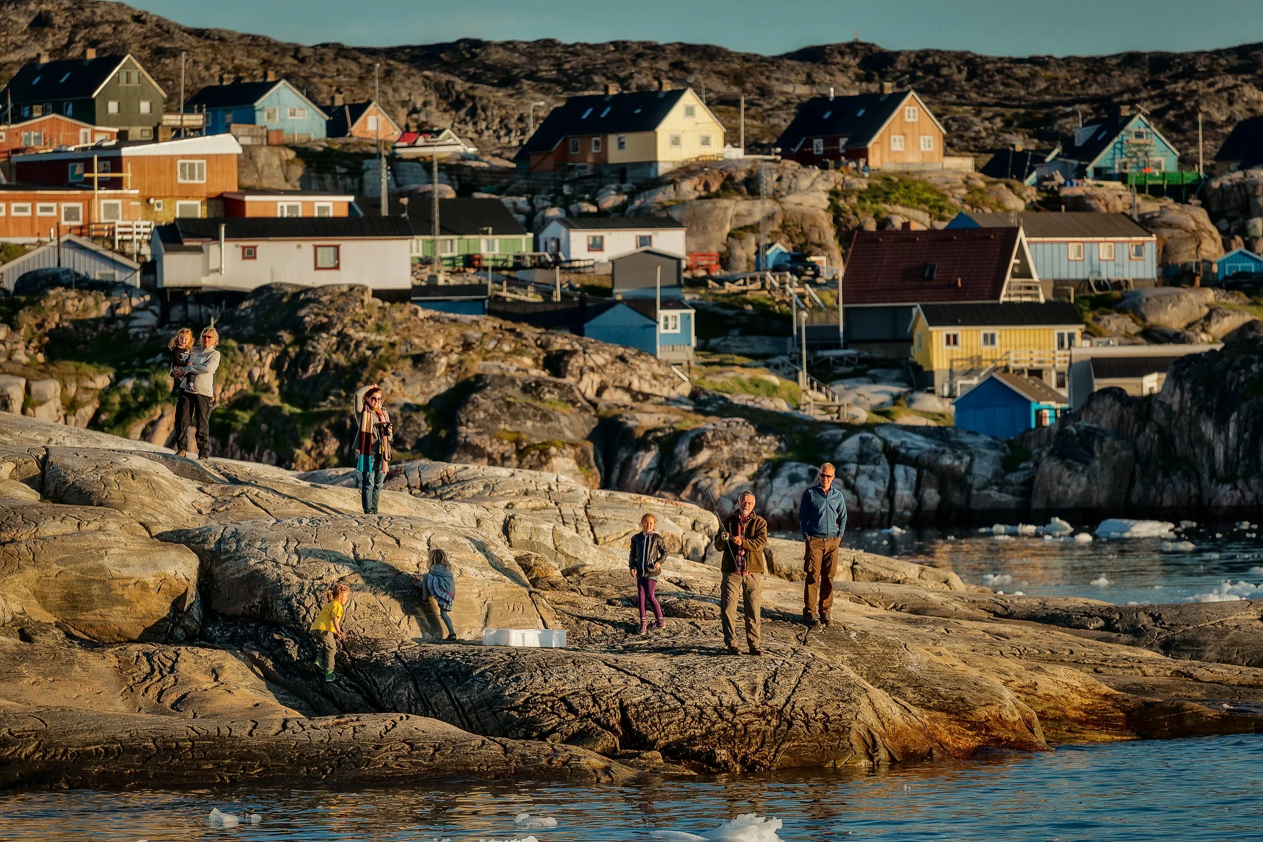
Here's how to use scale and proportion to add drama, enhance three dimensional space and create really super photos with loads of visual impact.

Greenland is a remarkable country. A harsh, wild and beautiful environment where nature rules in its pristine state. But change is coming and Greenland looks set to experience a big boom in mining and defence. Many people will profit, but what cost will be paid by the local Inuit people if the United States of America acquires Greenland?

Arriving in Ilulissat, Greenland is an amazing experience. I ventured to Greenland for a taste of this wild, brutal and beautiful land. And I wasn’t disappointed.

Greenland, existing primarily of ice and rock, is a massive wilderness. The aerial photos in this post, made near the end of my flight from Reykjavik, Iceland to Ilulissat in West Greenland, showcase the monumental proportions and harsh environment of this sparsely populated, arctic nation.

Ilulissat Icefjord, located off the West coast of Greenland in Disko Bay, 250 km (155 miles) north of the Arctic Circle, contains a huge and ever-changing body of ice. Listed as a UNESCO World Heritage Site in 2004, Ilulissat Icefjord is best explored on a midnight cruise.
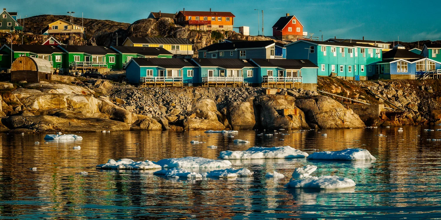


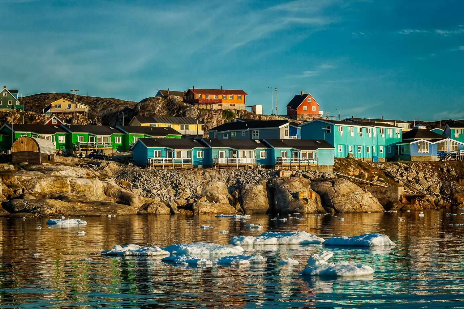
Greenland is really something else. Big waters, big sky and, of course, big icebergs. That’s the landscape of Greenland so many travelers want to discover.




The aerial photography adventure I undertook, while flying over Greenland, was an absolutely amazing experience. Let’s explore the range of simple and highly actionable tips and techniques I used to make great pics during that incredible flight.